Travelling by road is the most common method of travelling in Nigeria. Interstate travelers in Nigeria are advised to travel by air because of the recent rise in dangers and insecurities encountered by interstate road travelers. Recently, airlines in Nigeria have raised the minimum price of a local flight ticket to 50,000 Naira whereas the minimum wage in Nigeria is 30,000 Naira . According to Premium times newspaper, 27.4 million Nigerians earn less than 100,000 Naira yearly and more than 15.6million Nigerians earn between 100,000 and 20,000 Naira per annum. Hence, an average Nigerian cannot afford to travel by air whenever he/she wants to travel to another state. Apart from the high cost of travelling by air, not all states in Nigeria have airports. You might ask "what about travelling by train?". There are 36 states in Nigeria and travelling by railway is only available for five routes.
- Lagos state to Ibadan( oyo State).
- Lagos state to Kano State.
- Lagos State to Abeokuta ( Ogun State).
- Abuja to Lagos State
- Abuja to Kaduna state Apart from the lack of sufficient railway services, travelling by railway is equally unsafe. On the 28th of March 2022, An abuja to Kaduna train was attacked in Katari, Kaduna State Nigeria. This incident led to the injury and death of many innocent souls. Due to the issues around travelling by air and railway, Interstate travelling by road in Nigeria is inevitable. Sometimes travelers may not be aware of the danger around their travel destination or even on the road leading to their destination due to improper announcement/ news broadcasting. This has led to the death of many innocent souls that could have been avoided.
How Does Trvlr Help? The tech support team decided to build an open source app called Trvlr hosted on Linode to help interstate travellers in Nigeria take extra percussion while travelling. Trvlr has the following features.
- Traffic detector: After the user inputs their current location and the location of the area they are travelling to, trvlr displays different routes and the time taken to travel on those routes by road. After the preferred route is chosen, the traffic condition of that route is displayed for the user to see.
- News feed: This is the major feature of the Trvlr app. After the user clicks on this feature, Trvlr displays the news of everything happening around the location the user is travelling to and around the route the user is taking to this location. This helps the traveller to be aware of everything happening around where he is travelling to thereby ensuring a more secured travel.
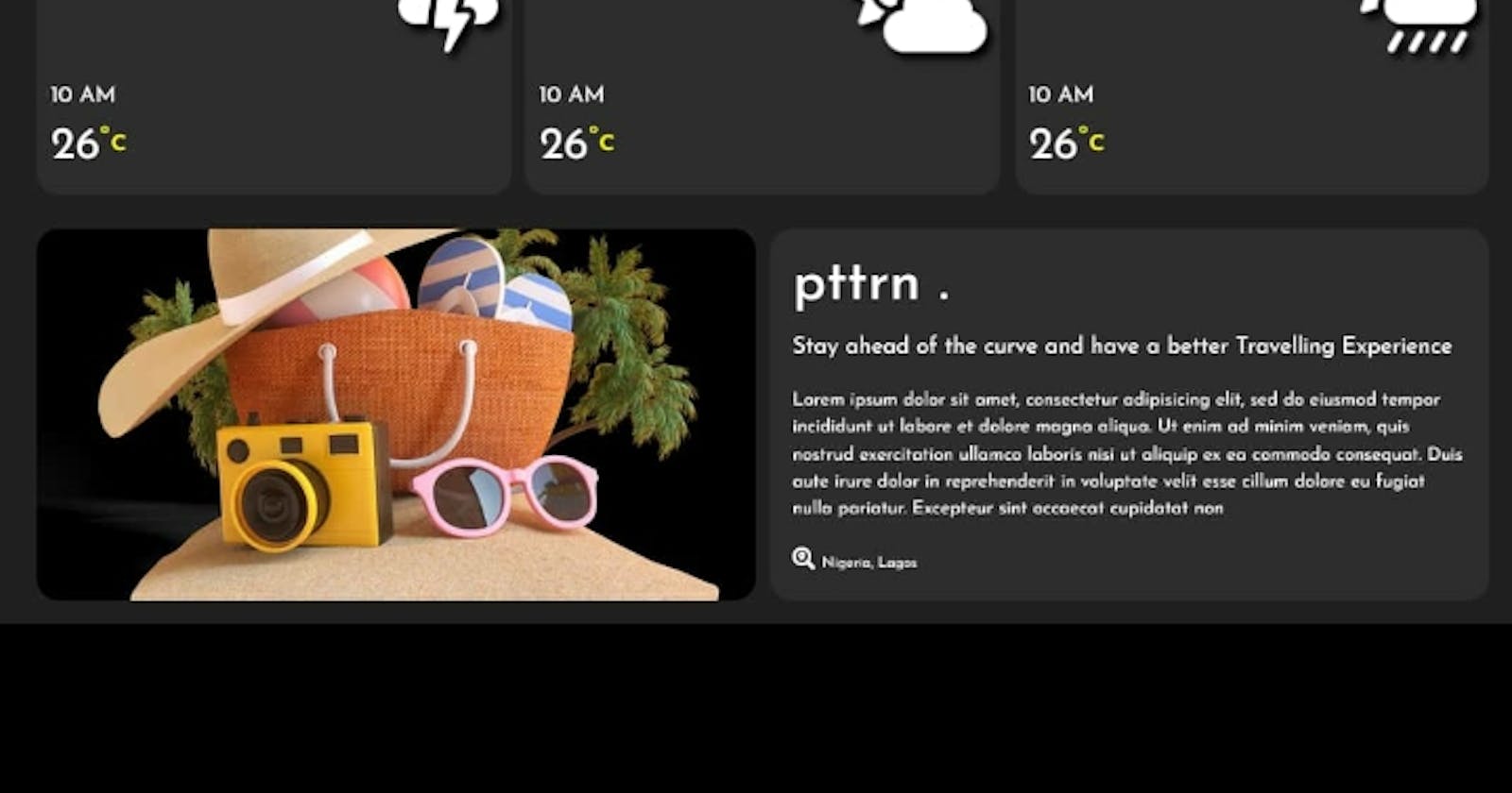
- Weather feature: Trvlr also displays the weather condition of the user's current location, the route the user is taking and the location the user is travelling to. Video of how it works!!!!! How was Trvlr built? First of all, a github repository was opened to help us keep up with changes as members of the group can contribute to this project. Google map API was used to display the users location, the users traveling destination, the best route to the user's destination and the time taken for a user to reach their destination. These features are shown as a polyline plot on the map. We tailored news and happenings around the user were fetched and displayed by fetching data from a publicly available news API and a geolocation api. Linode was used as a web server. a link to project can be found at techsupport2022.github.io/TravellersGuide
